Pipe Networks
Gravity sewer and storm water networks
- Manholes and pipes from a polyline, flow direction from drawing direction
- Invert levels from the TIN using minimum cover and slope
- Network long section with manholes and pipes
CIVIL4CAD · ZWCAD 2025 & 2026 (64-bit)
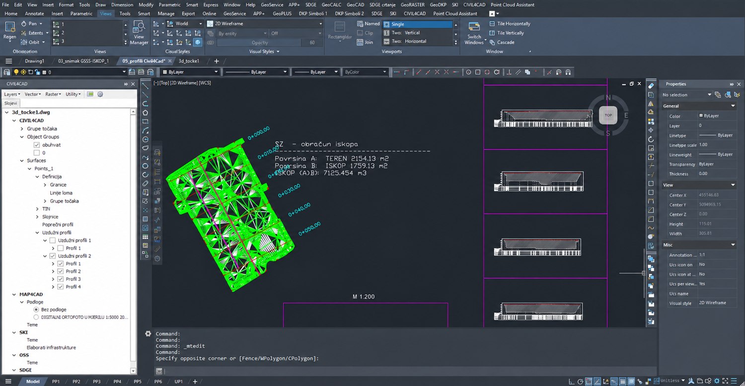
CIVIL4CAD · Terrain models, profiles and volume calculation
Each module covers one part of the job — together they work on the same drawing, points and surfaces.
Terrain models, contours, DEM and earthwork quantities
Learn moreHorizontal alignments, long sections and cross sections
Learn moreA live coordinate table linked to the drawing
Learn moreParcel groups, area reports and output
Learn moreBase maps, attributed themes, legends and map series
Learn moreVector analysis on drawing objects
Learn moreGravity sewer and storm water networks
Learn more25 kV railway overhead contact line design
Learn moreDKP, OSS, ISPU and SKI data in the drawing
Learn moreEveryday tools that save time
Learn moreBuild a TIN surface with breaklines from surveyed points, generate contours, set out an alignment and get long and cross sections — then compute cut and fill against a level or as the difference between two terrain states.

Specialised modules for network design — licensed as add-ons to core CIVIL4CAD.
Gravity sewer and storm water networks
25 kV railway overhead contact line design
Import and export common survey, GIS and office formats, with reprojection between coordinate systems (PROJ, full EPSG catalogue).
The drawing's coordinate system is stored in the DWG, so base maps, themes and points are reprojected to it automatically.
Pay for what you use — core CIVIL4CAD and, if needed, specialised modules.
Annual licence maintenance
All core modules, upgrades and support included.
Don't have ZWCAD yet? Ask us for a combined CIVIL4CAD + ZWCAD offer.
Try it free for 30 daysStart remote support with one click or watch the video tutorials on our YouTube channel. CIVIL4CAD is free for 30 days — try it with no obligation.
CIVIL4CAD is developed by GEOSOFT — a Croatian company working in practical surveying and cadastre since 1990.
We build our software from our own field practice: alongside CIVIL4CAD we develop GeoPLUS for survey data processing and MojERP for office management. We are licensed by the Croatian State Geodetic Administration for state survey and real-estate cadastre work.

Questions, ideas or a quote — we're here.